
1. A simulation approach to model spatial distribution of population
2. A simulation approach to model the relationship between building density, land use zoning and surface runoff levels in urban blocks
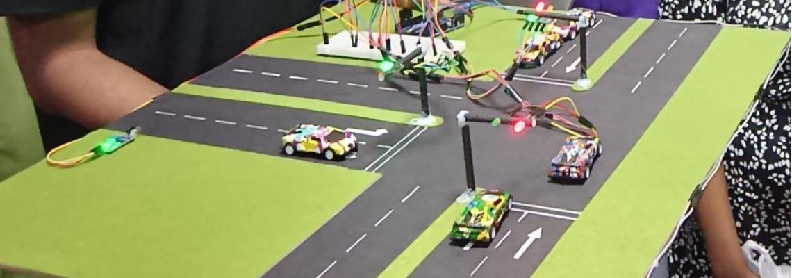
3. Landuse and transportation interaction modeling at the site level
4. AI-based landslide simulation model for Sri Lanka
5. Modeling land fragmentation, land-use changes, urban sprawl
6. Citizen science approach for City mapping
7. Urban growth dynamics, modeling and developing web-based decision making system using geo-spatial data in select Indo-Lankan Cities
Research Partners
National:
Urban Development Authority (UDA); National Building Research Organization (NBRO); Sri Lanka Land Development Corporation (SLLDC); Mahaweli Authority of Sri Lanka; OSGeo Sri Lanka Chapter, National Spatial Data Infrastructure (NSDI) Program; Gampaha Municipal Council, Faculty of Technology, University of Sri Jayawardenapura
International:
- University of Applied Sciences and Arts of Southern Switzerland (SUPSI)
- Osaka City University - Japan;
- Nagaoka University of Technology - Japan
- OSGeo Foundation; Global Disaster Resilience Centre at the University of Huddersfield, UK
- Indian Institute of Technology Kharagpur - India
- Department of Geodesy and Geoinformation, Vienna University of Technology - Austria
- Sustainable Places Research Institute, Cardiff University - UK
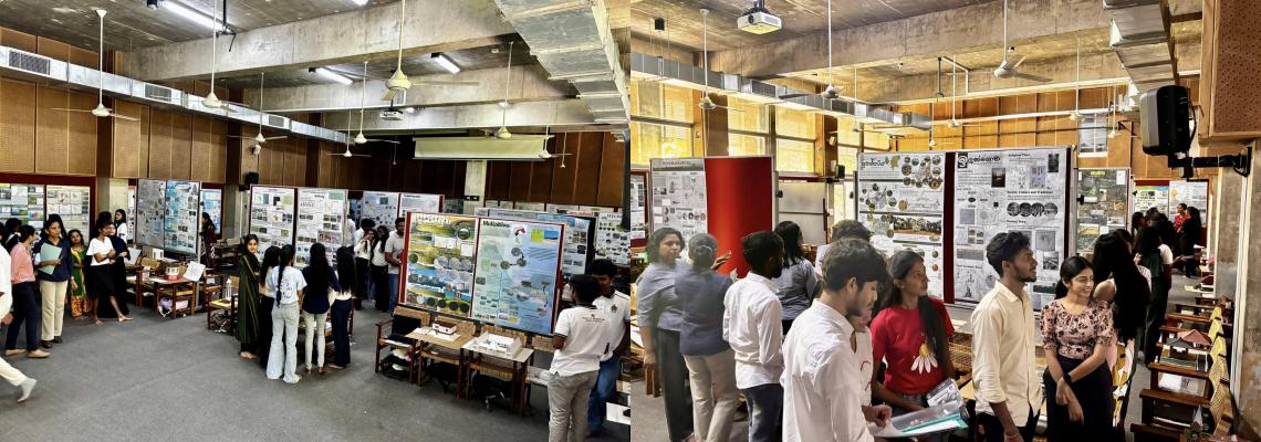
PROJECTS
4ONSE Weather Station
4ONSE is the acronym for “4 times Open and Non-conventional technology for Sensing the Environment”, which is a research project carried out by University of Moratuwa, Sri Lanka and University of Applied Sciences and Arts of Southern Switzerland. The project aims at developing an experimental, low budget weather station based on open source technologies – open hardware (Arduino), open software (istSOS), open data (CKAN) and open standards (OGC-SOS standards). The station is able to measure 8 environmental parameters – rainfall, temperature, atmospheric pressure, humidity, solar radiation, wind direction, wind speed and soil moisture. Already, 27 weather stations have been deployed in Deduru Oya basin, which is the selected river basin for this research.
CLICK HERE FOR MORE DETAILS:
4ONES PROJECT WEB | 4ONES WORKSHOPS AND EVENTS. | 4ONES WEATHER STATION ON TV NEWS
Publications
1.Jayasinghe, A., Sathsarana, H. W. A. S., RathnayakeR.M.Y.L., & Bandara, N.S. (2020). A Novel Method to Model SpatialDistribution of Population, International Journal of Innovative Technology andExploring Engineering, 9, pp. 34-40.
2.Jayasinghe, A., Tenzin, N. Z, Abenayake, C.C. & Mahanama,P.K.S. (2019). Simulation of Population Growth and Distribution based onCentrality of Road Network, International Journal of Innovative Technology andExploring Engineering, 8, pp. 472-476.
3.Kalpana, L., Jayasinghe, A., &Abenayake, C. (2019). Accessibility Assessment of Cities Based on NetworkAnalysis and Centrality, pp. 1062-1096, Journal of the Eastern Asia Societyfor Transportation Studies, Vol. 13
4.Tenzin, N., Jayasinghe, A., & Abenayake, C. (2019). RoadNetwork Centrality based Model to Simulate Population Distribution, pp.1194-1215, Journal of the Eastern Asia Society for Transportation Studies, Vol.13
5.Jayasinghe, A., Sano, K., Abenayake, C. C., & Mahanama, P. K. S. (2019). A novel approach to model traffic on road segments of large-scale urban road networks. MethodsX, 6, 1147-1163.
6.Abenayake, C.C., Dias,N., Amaratunga, D., Haigh, R., Jayasinghe, A.B. & Wijayawardana,N.P. (2019). Scenario Analysis for Flood Resilient Built Form- Case ofColombo Sri Lanka.10th International Conference on Structural Engineering andConstruction Management. Kandy
7.Dias, N., Abenayake, C.C. Wijayawardana, N., Jayasinghe, A., Amaratunga, D. and Haigh, R. Towards A Flood-Resilient Urban Form; A Simulatory Study to Reveal The Flood Resilience Of Built-Up Urban Areas. Proceedings of the 9th International Conference on Building Resilience ICBR 09. Bali Indonesia.
8.Vajeeha.N.F , Jayasinghe. A.B., (2018) Study on MappingLand Use Using Open Maps and Open Data. In Proceedings of International FOSS4GAsia 2018, Moratuwa, Sri Lanka. ID-300
Awards
1.Sathsarana H.W.A.S., won Gold Award at the FARU 2019 12th International Research Conference, Faculty of Architecture, University of Moratuwa, Sri Lanka 2019 poster titled 'A simulation approach to model spatial distribution of population in cities.
2.Abenayake, C.C.; WCISE19 International Award for Best Researcher in Environment Science, Bangkok, 2019 awarded at the World Conference on Innovations in Management, Science and Engineering on December 29-30, 2019 in Bangkok, Thailand.
3.Jayasinghe, A.B., WCISE19 International Award for Best Researcher in Urban Planning, Bangkok, 2019 awarded at the World Conference on Innovations in Management, Science and Engineering on December 29-30, 2019 in Bangkok, Thailand.
4.Jayasinghe, A.B., Best paper award titled Simulation of Population Growth & Distribution based on Centrality of Road Network. 4th International Conference on Management, Engineering, Sciences, Social Science and Huminites (iCon-MESSSH'19) Phuket, Thailand.
5.Tenzin, N. Z, won best student paper award in 13th Eastern Asia Society for Transportation Studies, Colombo, Sri Lanka, 2018 for paper titled Road Network Centrality based Model to Simulate Population Distribution.
6.Vajeeha. N. F., won best paper academic track (student) award in International FOSS4G Asia 2018, Moratuwa, Sri Lanka for paper titled Study on Mapping Land Use Using Open Maps and Open Data In (pp. 117).
7.Lakmali, N., Won best Research in Highways and Safety in 3rd International Conference Research for Transport and Logistics Industry (R4TLI), Colombo, Sri Lanka 2018 for paper titled Perception of Bus Priority Lane on Galle Road & Sri jayawardhanapura Mawatha Colombo, Sri Lanka.